Microsoft Bing Map version
This Washington interactive map provides click, drag and zoom navigation. Follow location links to details in an area, bookmark a map view, get the latitude and longitude coordinates for a point, and view the comparable Google map version with the same location, zoom level and map type.
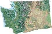
This Washington State map is based on Virtual Earth data provided courtesy of Microsoft Bing.